Events
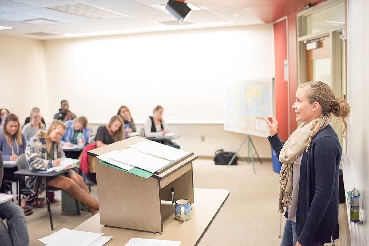
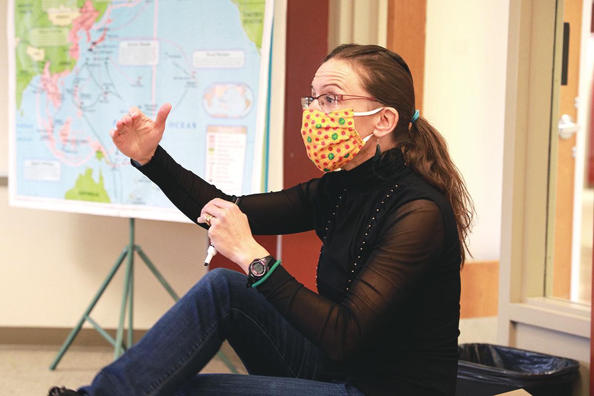
Analyze geographic patterns, processes, and relationships.
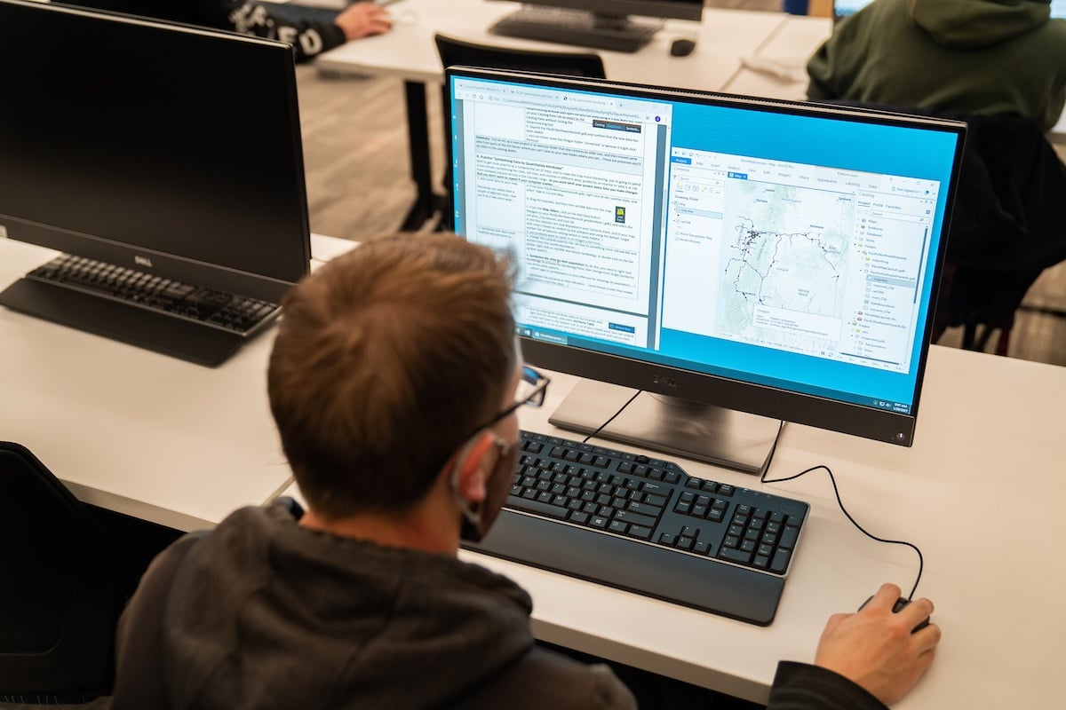
In the program you’ll study natural and human-altered landscapes, and how they came to be the way they are. You’ll complete the Geographic Information Systems (GIS) Certificate in tandom with your minor and gain additional insights into the interactions of human populations, livelihoods, and environmental conditions, and ways global trends influence local spaces.