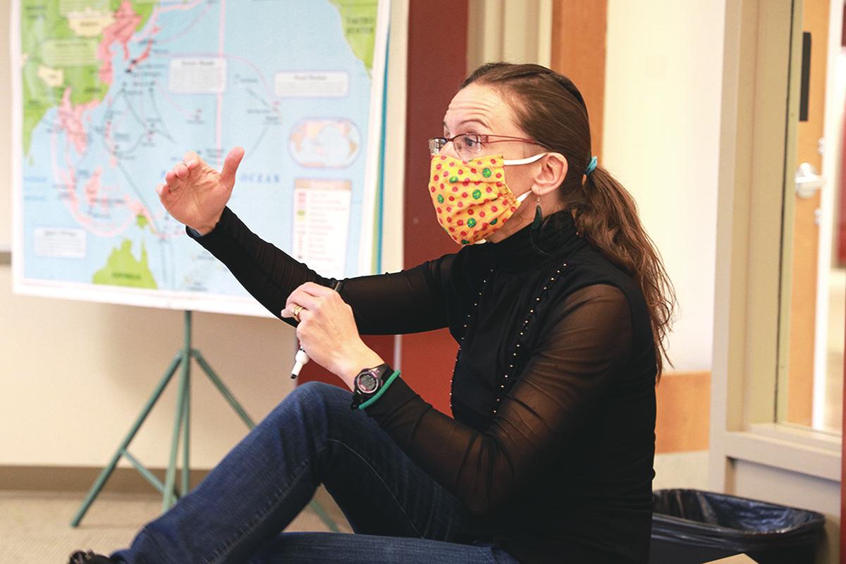
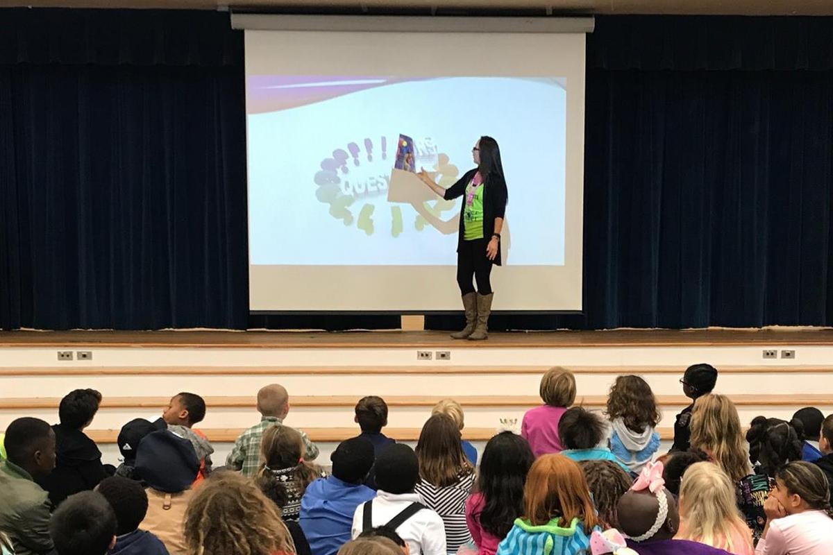
Dr. Crossley coaches student Everett Fillmore as he launches the drone.

Analyze problems and propose solutions.

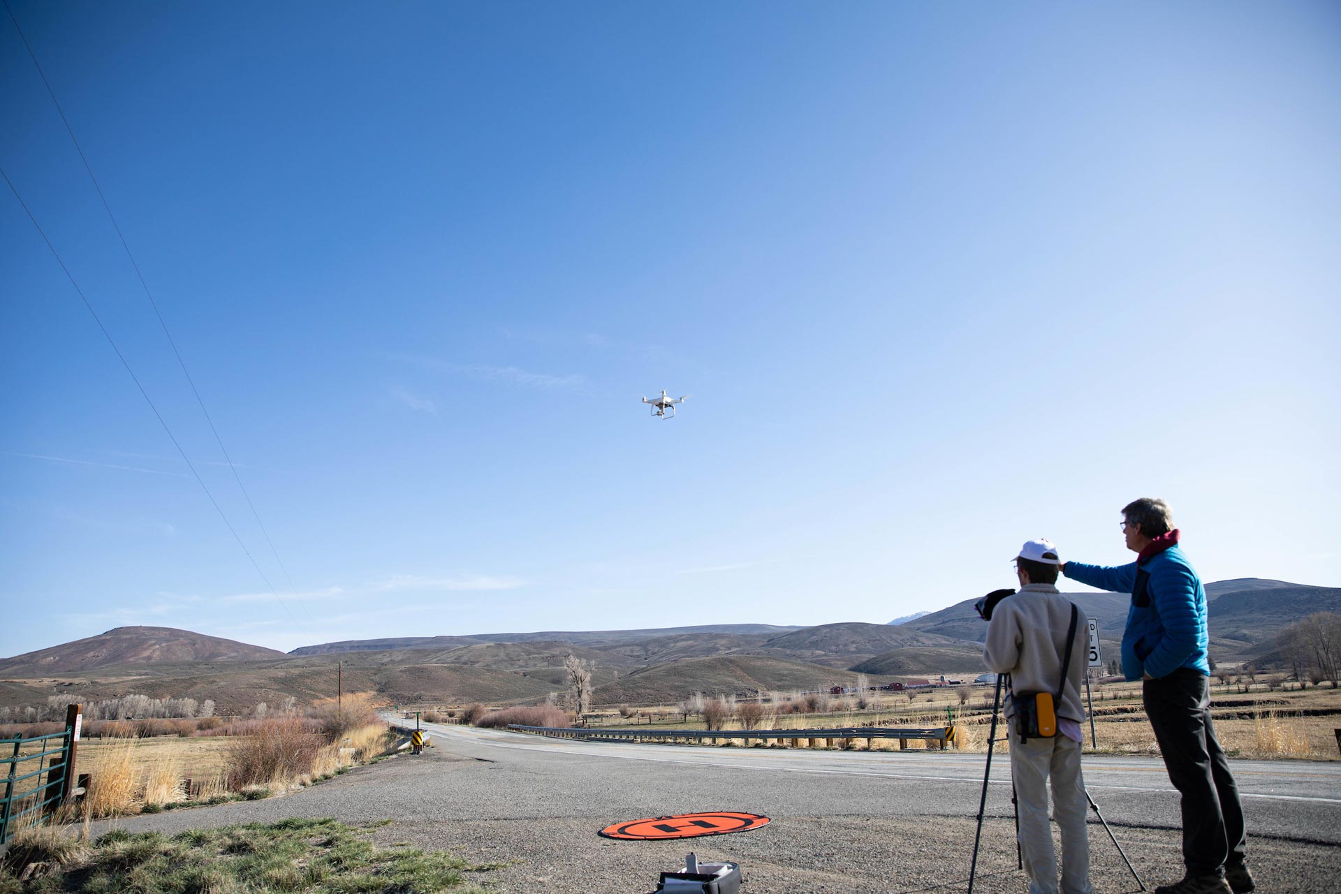
In the Geographic Information Systems Certificate you will use software to visualize terrain, interpret satellite images, map with UAVs, analyze land use problems, assess fire severity, prioritize conservation habitat, propose solutions to unequal access to fresh produce, and communicate your analysis with effective maps and websites; and that’s just the start!  The GIS Certificate gives you expertise in a range of geospatial technology and analysis skills increasingly sought by a wide range of employers and graduate programs, and can be completed within, or independently of a minor in Geography and Geospatial Analysis.

Geographic Information Systems Requirements

Certificate
Minor

A certificate is a shorter program focusing on a specific field of expertise rather than an entire course of study. It does not result in a degree, but it can be completed alongside your major or as a stand-alone credential. Certificates are a great way to enhance your knowledge, strengthen your resume, and gain practical experience in a particular field.

The Geography and Geospatial Analysis minor expands your understanding of ways that people create and modify landscapes, and includes completion of the GIS Certificate. A minor complements your major by allowing you to explore a secondary field of interest. It requires fewer courses than a major, making it a flexible way to broaden your knowledge, diversify your skills, or pursue a personal passion alongside your primary area of study.


Scholarships

Scholarships by Department

The Western Colorado University Foundation offers scholarships for this program. Explore eligibility requirements and funding opportunities.

General Western Scholarships

Western Colorado University offers merit—and need-based scholarships, recognizing achievement, financial need, and special talents.

1

Top Skills

Creative Problem Solving
Ecological and Terrain Analysis
Effective Cartography
Geospatial Analysis
Satellite Image Interpretation
UAV Operations and Mapping

2

Career Pathways

City and County Planner
Criminologist
Environmental Consultant
GIS Analyst
Geological Technician
Habitat Restoration
Wildlife Ecologist

Department News

Faculty & Staff

Behavioral & Social Sciences Department

Contact Information

Contact Location

Western Colorado University
Kelley Hall 240
1 Western Way
Gunnison, CO 81231

Mountain Graphic